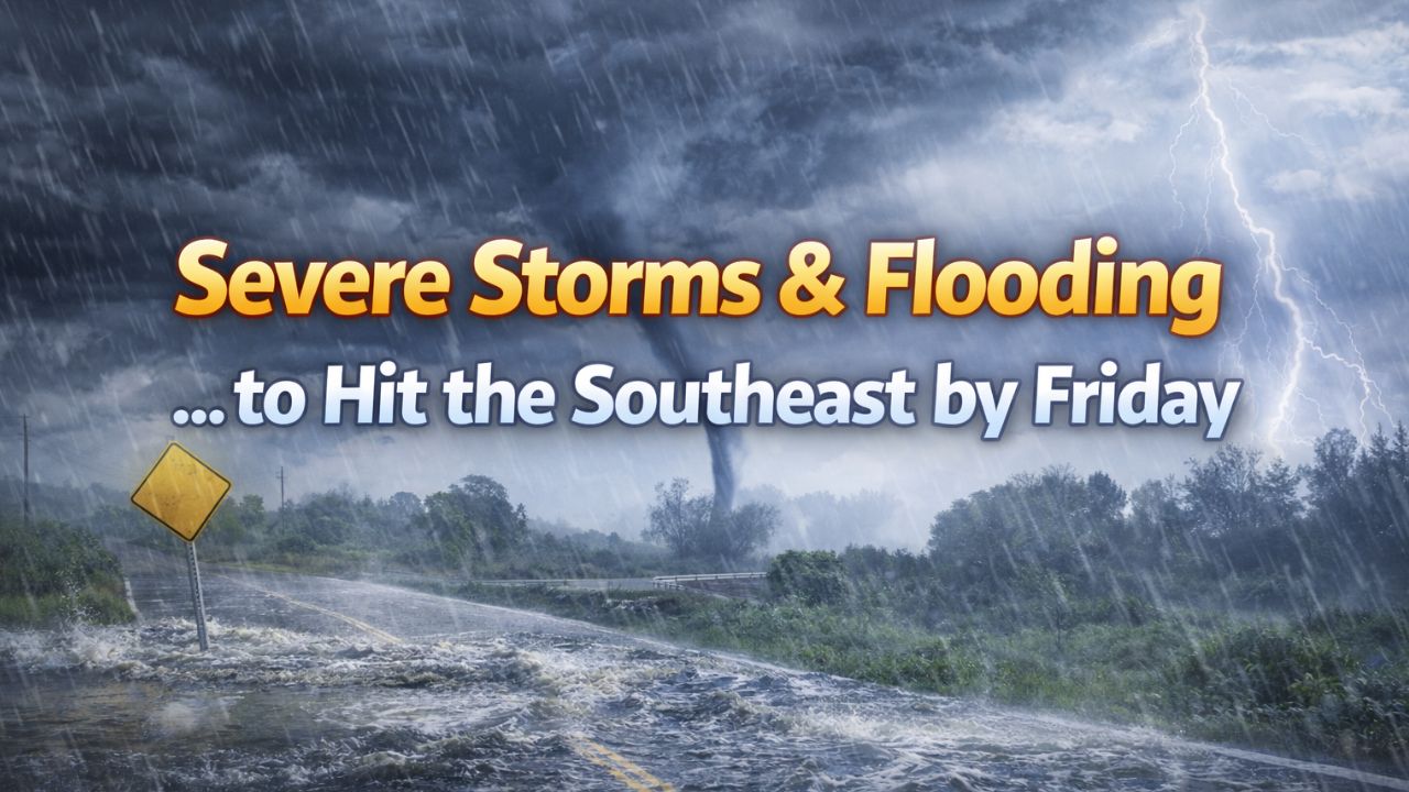
Birmingham, Alabama — A powerful storm system is expected to sweep across the Southeast by Friday, bringing heavy rain, damaging winds, and the potential for isolated tornadoes, ending a short-lived stretch of calmer weather and raising new safety concerns across multiple states.
Forecasters warn that the setup could create dangerous travel conditions and localized flooding, particularly in areas that see repeated rounds of storms.
Severe weather risk increases across the Southeast
According to the National Weather Service and the Storm Prediction Center, a broad region stretching from Mississippi and Alabama into Tennessee, Georgia, and parts of the Carolinas is facing an elevated risk for strong to severe thunderstorms.
Central and northern Alabama are currently placed under a slight risk for severe weather, which includes cities such as Birmingham, Tuscaloosa, Huntsville, and Montgomery.
“Storms may produce damaging wind gusts and isolated tornadoes from Friday into early Saturday.”
Forecasters note that while not every location will experience severe storms, any thunderstorm that becomes organized could quickly turn dangerous, especially during overnight hours.
Tornado potential remains a concern
Meteorologists say atmospheric conditions ahead of the storm will support rotating thunderstorms, increasing the risk for brief, isolated tornadoes across parts of the region.
While the tornado threat is not expected to be widespread, officials stress that even a single tornado can cause significant damage, particularly in populated or mobile-home communities.
Residents are encouraged to:
- Identify a safe shelter location
- Have multiple ways to receive weather warnings
- Remain alert after dark, when tornadoes are harder to see
Heavy rain raises flash flooding risk
In addition to severe storms, excessive rainfall is expected to become a major concern.
The Weather Prediction Center has highlighted a corridor of heavy rain from the central Gulf Coast through Mississippi and Alabama into Tennessee.
Rainfall rates could be intense at times, especially where storms repeatedly move over the same areas.
“Flash flooding is possible in low-lying locations, near creeks and streams, and in urban areas with poor drainage.”
Cities such as Jackson, Tupelo, Birmingham, and Chattanooga could see rapid water accumulation, leading to flooded streets and travel disruptions.
Travel impacts likely during peak storm hours
Officials warn that Friday afternoon and evening travel could be impacted by heavy rain, reduced visibility, and water-covered roadways.
Drivers are urged to:
- Never drive through flooded roads
- Allow extra travel time
- Be cautious near bridges and underpasses, where water can rise quickly
Read Also: Springlike Warmth Sweeps the East — But Cold Air and Snow Threat Loom Ahead
Emergency officials emphasize that most flood-related fatalities occur in vehicles, even when water appears shallow.
Preparation urged ahead of Friday’s storms
Emergency managers are encouraging residents across the Southeast to prepare now rather than wait until storms arrive.
Recommended steps include:
- Securing outdoor furniture and loose items
- Charging mobile devices and backup batteries
- Turning on emergency weather alerts
- Reviewing family severe weather plans
“Preparation ahead of time can make a critical difference when storms move in quickly.”
Storm system moves east into the weekend
The main storm system is expected to push eastward late Friday night into Saturday. While the most intense weather should gradually shift out of the region, lingering rain and elevated river levels may persist into the weekend in some areas.
Forecasters say additional watches and warnings are likely as the system approaches and details become clearer.
Stay weather-aware
Officials stress that forecast details may continue to change as the storm develops, and residents should monitor updated forecasts from trusted sources.
Is your area preparing for severe weather this Friday? Share how you’re getting ready or what conditions you’re seeing in the comments below.