Michigan — Residents across the state are being urged to prepare for life-threatening cold as a powerful Arctic air mass settles over the Great Lakes, bringing some of the coldest wind chills of the season from Monday into Tuesday.
According to the National Weather Service, confidence is high that wind chills will plunge well below zero statewide, with values ranging from –15°F to –35°F or colder, especially during overnight and early morning hours. Forecasters warn that in these conditions, frostbite can occur on exposed skin in as little as 5 to 10 minutes.
“This is a dangerous cold outbreak,” forecasters said. “Even short periods of exposure without proper protection can lead to frostbite or hypothermia.”
Arctic air locks in across the Great Lakes
The incoming Arctic air mass will be reinforced by persistent northwest winds, preventing temperatures from recovering during the daytime. Actual air temperatures are expected to remain well below seasonal averages, while wind will dramatically amplify the cold’s impact.
Upper Michigan is expected to see the harshest conditions, with wind chills frequently dipping into the –25°F to –35°F range. Portions of northern Lower Michigan are also likely to experience similar extremes, while southern Michigan will not be spared, with wind chills commonly falling below –15°F.
These values place much of the state in a range where frostbite can develop rapidly, especially on fingers, toes, ears, and exposed facial skin.
Lake-effect snow adds to travel concerns
In addition to the extreme cold, lake-effect snow is expected to impact parts of western and northern Michigan. Gusty winds blowing across unfrozen sections of the Great Lakes will generate bands of light but persistent snow, particularly in traditional snowbelt areas.
While snowfall totals may not be extreme everywhere, officials warn that visibility could drop suddenly in heavier lake-effect bands as fine, powdery snow is blown around by strong winds.
“Blowing snow can make it difficult to see even a short distance ahead,” forecasters cautioned, “especially along open highways and rural roads.”
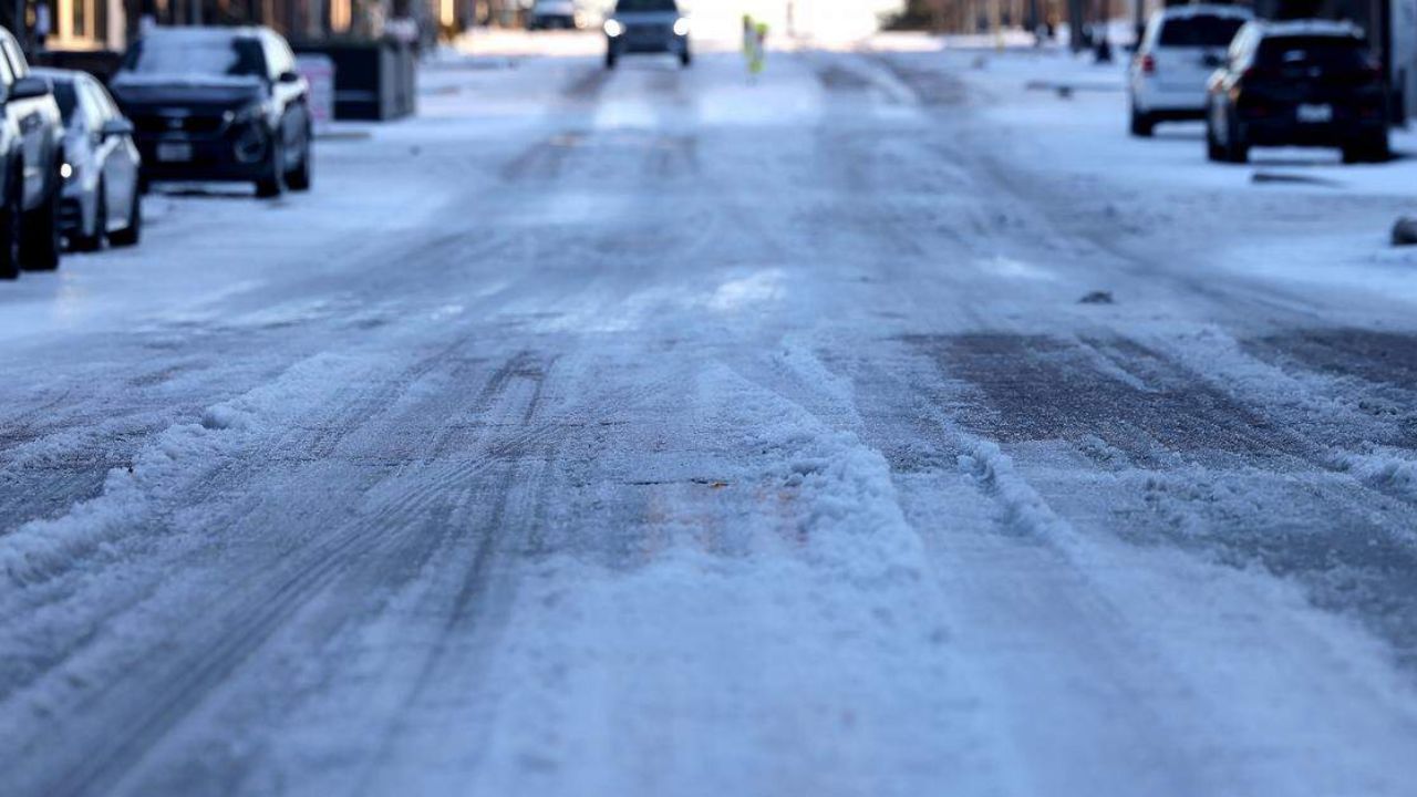
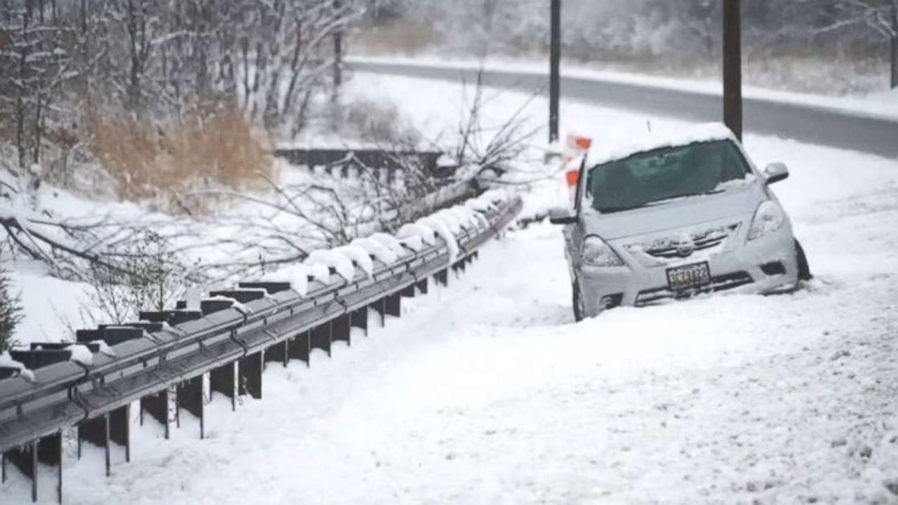
Roads may remain slick longer than usual
The bitter cold will also affect road conditions statewide. Transportation officials note that extremely low temperatures reduce the effectiveness of salt and chemical treatments, allowing ice and compacted snow to linger on roadways.
Slick spots are expected, particularly on bridges, overpasses, and untreated secondary roads. Combined with reduced visibility from blowing snow, travel could become hazardous at times, especially during the morning and evening commute.
Drivers are encouraged to slow down, increase following distance, and carry winter survival supplies, including blankets, extra clothing, food, water, and a charged mobile phone.
Read Also: Deep Freeze Incoming: Coldest Air of the Season Targets Eastern U.S., Sub-Zero Wind Chills Ahead
Health risks increase rapidly in extreme cold
Public safety officials emphasize that this cold snap poses serious risks beyond travel.
Frostbite and hypothermia are the primary concerns, with exposure risks increasing dramatically in windy conditions. Even individuals dressed for winter may be vulnerable if they remain outdoors for extended periods.
Those at greatest risk include:
- Outdoor workers
- Students waiting for school transportation
- Commuters
- People experiencing homelessness
- Older adults and individuals with medical conditions
Residents are urged to limit time outdoors, dress in multiple insulated layers, and ensure all exposed skin is covered, including hands, face, and ears.
Pets, pipes, and homes also at risk
The cold will not only impact people. Officials remind residents to bring pets indoors, as animals can suffer frostbite and hypothermia just as quickly as humans.
Homeowners should also take steps to protect plumbing, including allowing faucets to drip slightly, opening cabinet doors to allow warm air to circulate, and ensuring heating systems are functioning properly.
Prolonged cold can lead to frozen pipes, which may burst and cause significant damage once temperatures rise.
Coldest stretch expected Monday into Tuesday
Forecasters say the most dangerous period will likely be late Monday night through Tuesday morning, when wind chills are expected to bottom out across much of the state. While some moderation is possible later in the week, temperatures are expected to remain below normal for several days.
“This is not a brief cold snap,” meteorologists noted. “The Arctic air will linger long enough to pose ongoing risks.”
Residents are advised to closely monitor forecast updates, as additional advisories or warnings may be issued as the cold settles in.
Have you already experienced extreme cold where you live in Michigan, or are you preparing for the worst of it? Share how you’re getting ready and what conditions are like in your area in the comments.